
Building Construction Monitoring using Multispectral RTK UAV drones and High Quality Point Cloud Image Processing
- Project duration: Jan 2020 - Aug 2022
Description
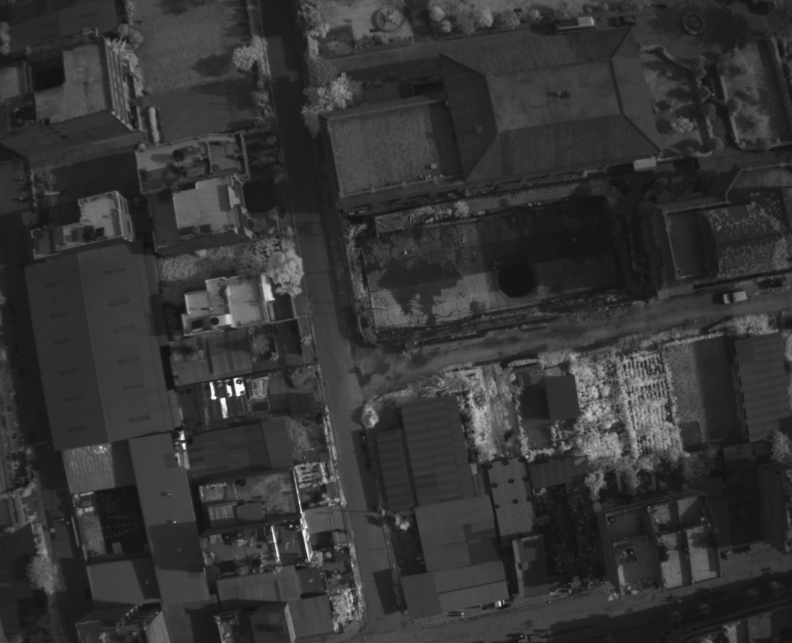
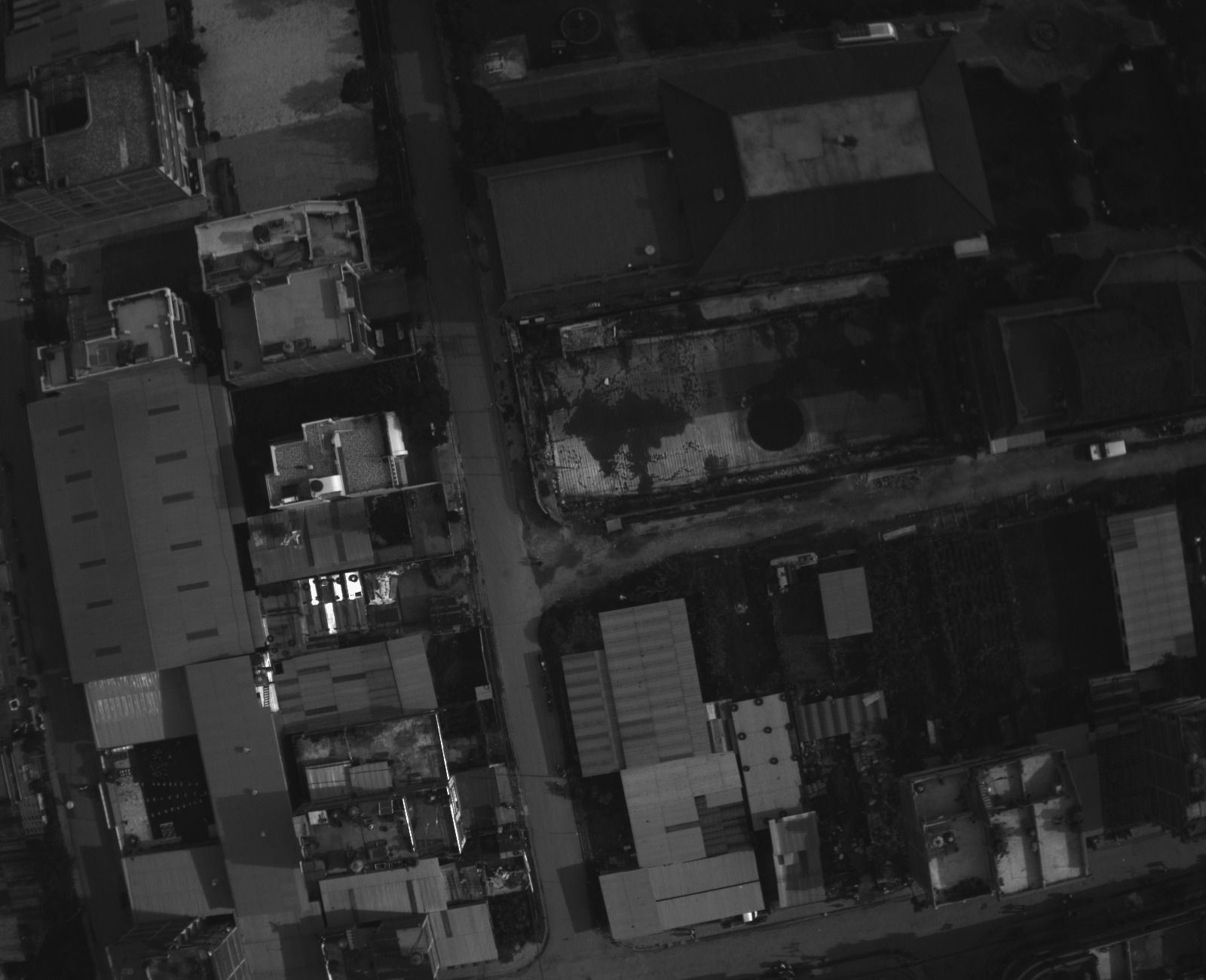
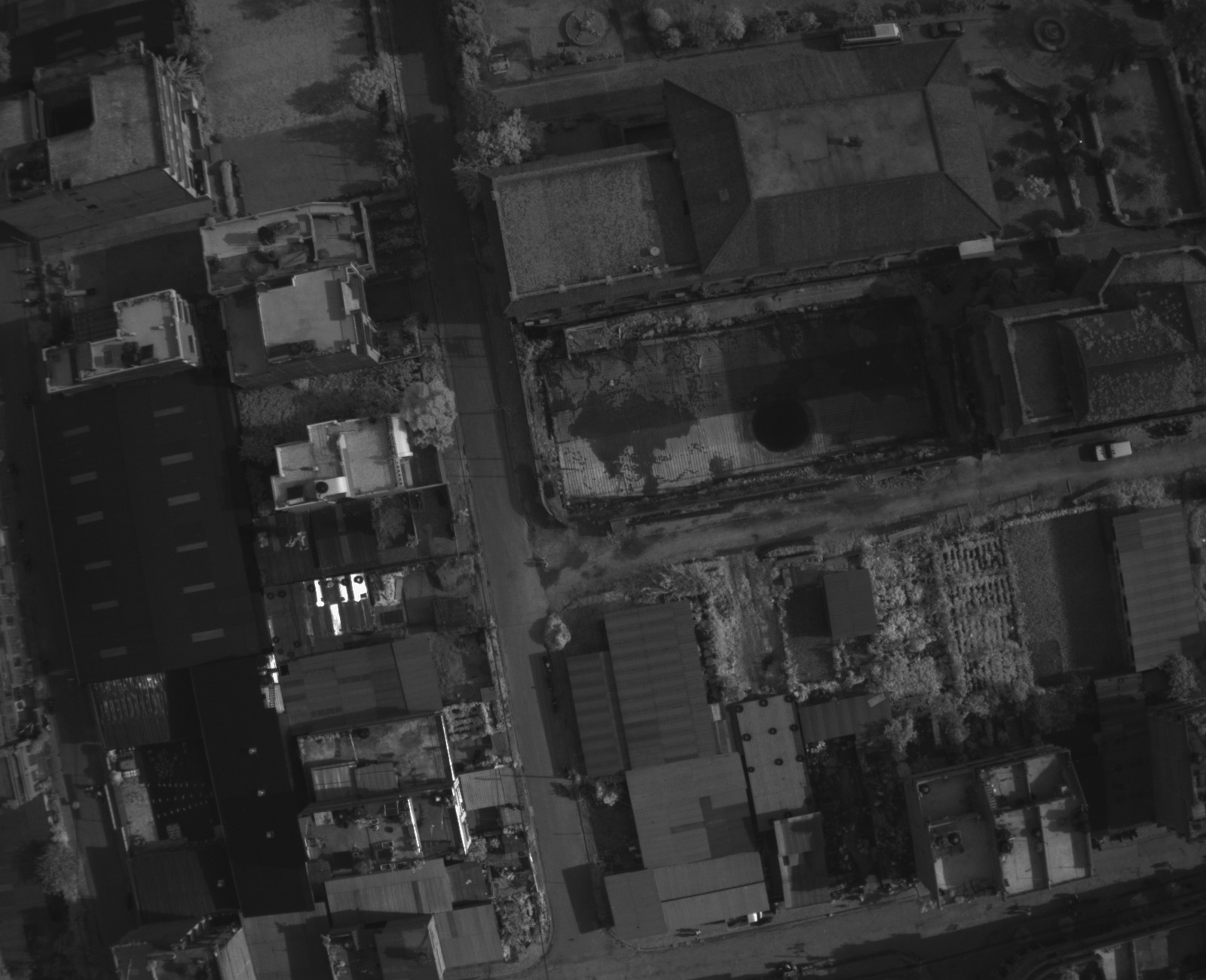
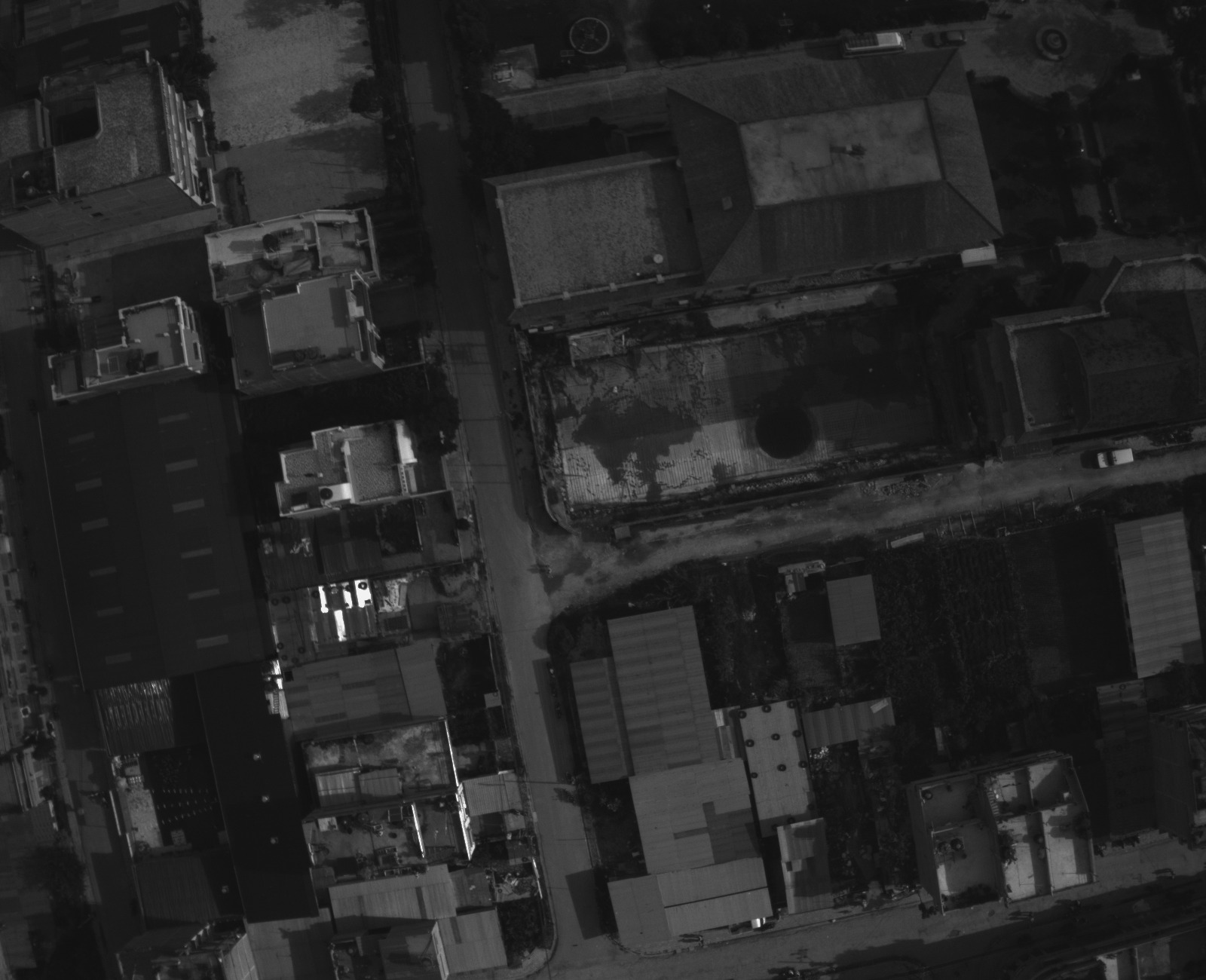
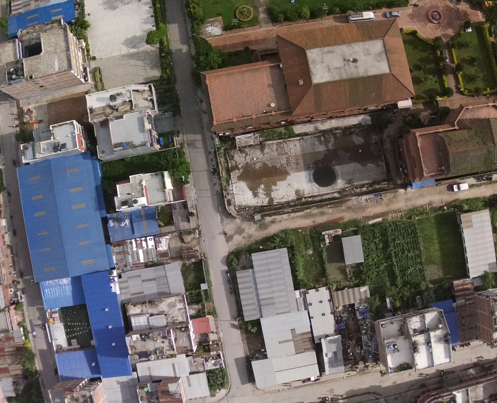
The use of drones for geographic surveys has been prominent. This has brought the immense possibility of using drones for monitoring and managing larger civil engineering projects. Likewise, at present, I am exploring the use of Multispectral RTK-based drones in my professional as well as research-based projects.
Professionally, I am using DGI Phantom 4 in following fields:
- Site Surveying and Mapping:
- Progress Monitoring:
- Site Inspection and Safety:
High-resolution drone images to quickly and accurately survey construction sites. I use mutispectral depth imagesto create detailed 2D and 3D maps, providing valuable topographical and geographical information.
I am using images and videos of the construction site from various angles, helping project managers and stakeholders track the progress of construction in real-time. This information can be compared to the project schedule to ensure it stays on track.
Using drones has facilitated me to reducing the need for workers to perform risky inspections. They can assess the structural integrity of buildings and infrastructure and identify potential safety hazards.
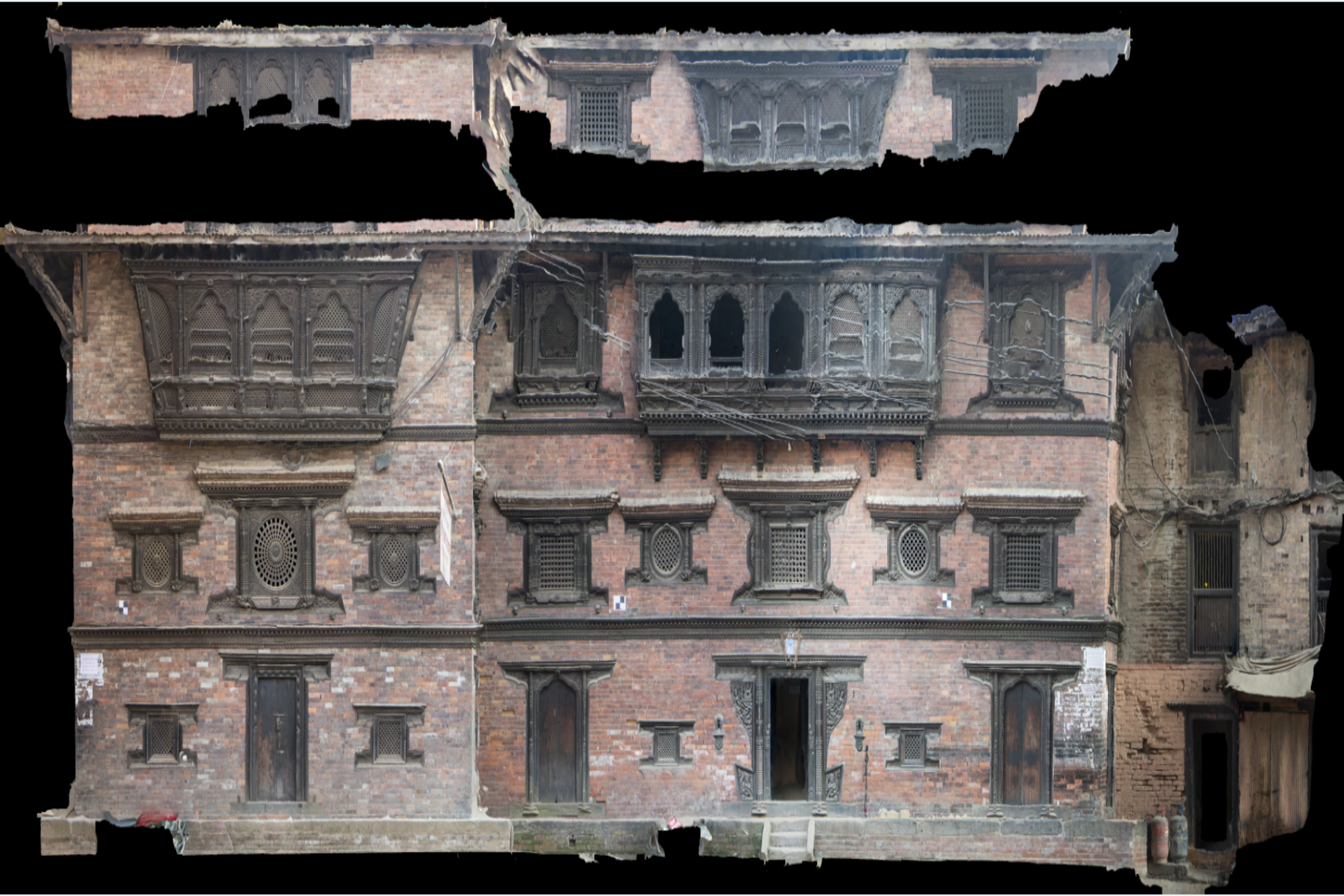
As in my academic research projects, I used Arc GIS and Agisoft metashape photogrammetry pipeline tool to process point cloud images and build into high resolution 3D image prints for physical objects. I am specifically skilled to use it in heritage structures.

.png)
.png)